Multiple Waves of Rain Will Bring Flooding Over the Next Few Days, Warns the National Weather Service

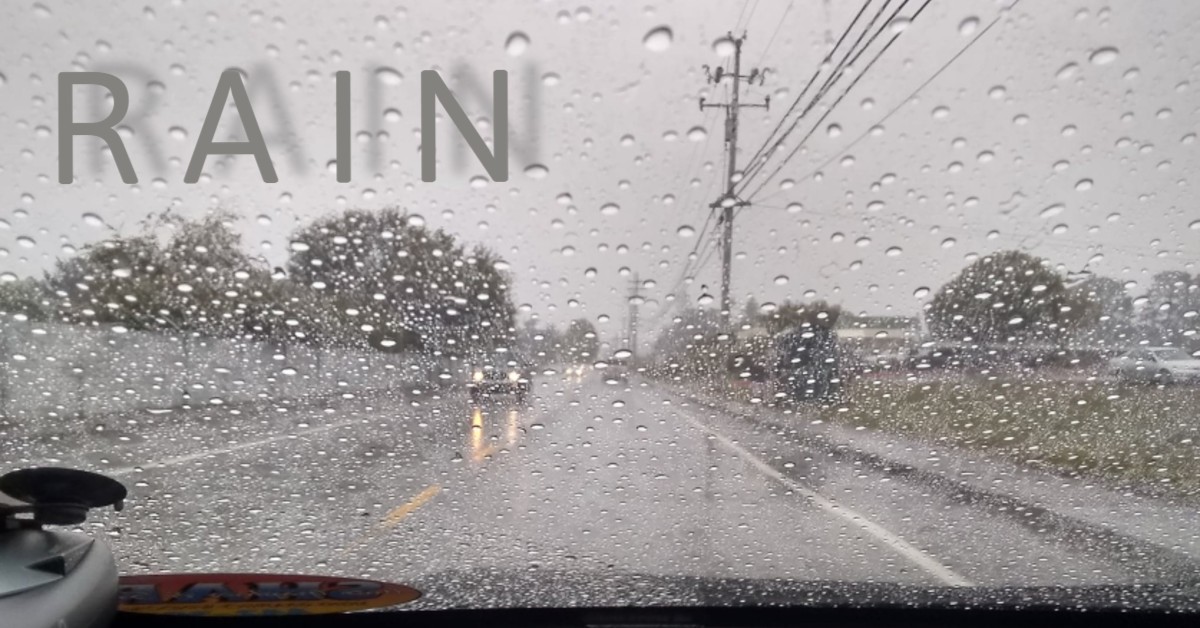
[Stock photo taken in the McKinleyville area by Lloyd Snyder in 2019]
This morning, heavy rain is expected through much of Del Norte, Trinity and Humboldt Counties. By afternoon, the National Weather Service predicts that Mendocino and Lake Counties will be impacted.
“Another round of rain will move through Northwest California on Tuesday which will also result in flooding concerns for some main stem rivers,” the Weather Service warns.
The Eel River at Ferndale is now predicted to hit flood stage Tuesday evening.

Graphic from the National Weather Service.
According to National Weather Service models, there is
– Over 95% probability that the Eel River at Fernbridge will reach the monitor stage of 14 feet
– 50 to 75 % probability of reaching flood stage at 20 feet
– 43% probability of reaching moderate flood stage at 22 feet
– 11% probability of reaching major flood stage at 25 feet
The California Nevada River Forecast Center predicts that the Mad River at Arcata will reach monitor stage but not flood stage. They report that the Russian River near Hopland will likely reach flood stage Tuesday morning. And, Clear Lake in Lake County will reach monitor stage Wednesday morning. All other river monitor stations from Del Norte County through Mendocino County and east to Trinity County are predicted to remain below monitor stage.
The National Weather Service warns there could be localized flooding. “Creeks and streams may rise out of their banks,” they note. “Flooding may occur in poor drainage and urban areas. Low-water crossings may be flooded.”
And, the storm will bring high winds. Today, wind gusts could reach 50 mph “near the coastal ridges and coastal headlands, the Weather Service reports. “A Wind Advisory is in effect for Del Norte, Humboldt and Northwester Interior Mendocino on Monday.”
Tuesday could be even windier for Lake, Mendocino, Trinity and southern Humboldt counties. The Weather Service predicts, “Gusts up to 55 mph is expected, with the higher wind gusts more likely at exposed ridgetops and coastal headlands. A second Wind Advisory is in effect from early Tuesday morning through Tuesday evening for Mendocino and Lake counties.”

Join the discussion! For rules visit: https://kymkemp.com/commenting-rules
Comments system how-to: https://wpdiscuz.com/community/postid/10599/
Stay safe out there!!
Beware the ides of March. I hope the old queen of bridges makes it through.
She’ll be fine. Even when the water covered her in the past, she stayed. Maybe that will remind people why an elderly, narrow bridge is worth the effort to keep maintained.
But keep in mind that this is a bridge post earthquake damage so she is a bit compromised.
Do you know if the neighborhoods in Fortuna behind Safeway- houses/apartments- are safe from the Eel River flooding? How would we be warned?
Currently they are safe.
Head for higher grounds, hug your loved ones
The good news is Ole Joe just signed the Willow oil project in Alaska. See, there’s always a bright side. But, but, but the Polar Bears.
So far, the rain has not been heavy at my location in Kneeland. Is it worse down south?
Never mind. It’s bucketing down now.
NWS……
Good sized system, but keep an eye on the 300 Meter wind speeds to determine where it’s going. Right now it appears we’ll catch the northerly edge, but of course, that could change.